
Great Lakes Digital Surface Models
Quick Facts
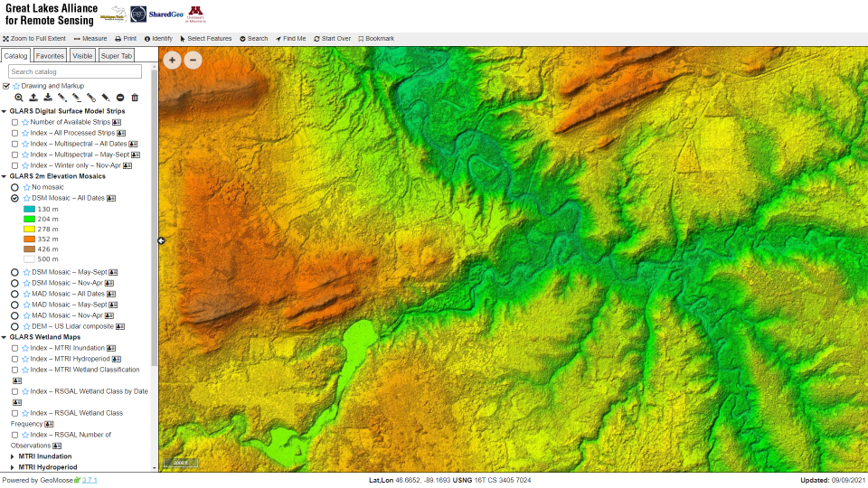
Purpose: As part of the Great Lakes Alliance for Remote Sensing project, SharedGeo produced Digital Surface Models (DSMs) covering 85% of the Great Lakes Basin in support of climate change research.
Funders: US EPA GLRI and USFWS GLRI
Partners: Michigan Tech Research Institute, Polar Geospatial Center, and Remote Sensing and Geospatial Analysis Laboratory – University of Minnesota Twin Cities
Starting in 2017, SharedGeo began processing current and historical remote sensing data to create visualization of Great Lakes environmental change and the impact of those changes so other Great Lakes Restoration Initiative (GLRI) projects can be focused to maximize restoration efforts. A significant scientific achievement coming out of these efforts is a 4D Multi-Temporal Vegetation Ecological Digital Surface Model at two meter resolution for 85% of the Great Lakes Basin which was derived from 70 TBs of MAXAR Worldview commercial satellite imagery acquired through the NextView program. At times this effort used 70% of the computing capacity of the Blue Waters Super Computer at the National Center for Supercomputing Applications at University of Illinois at Urbana-Champaign, one of the world’s most powerful super computers.
Products from this effort were released to the public for free download in May 2022 through the Great Lakes Alliance for Remote Sensing (GLARS) website hosted by SharedGeo. Please use the link below to learn more and download Great Lakes DSMs.
Great Lakes DSMs